Traditional GIS software, typically known for its complexity and steep learning curve, has given way to more accessible and user-friendly alternatives.
Browser-based GIS software has revolutionized the way GIS users engage with geospatial data, enabling seamless collaboration and enhancing productivity.
In this blog post, we will explore how browser-based GIS facilitates collaboration, making geospatial analysis and mapping more intuitive and efficient for users who may find traditional GIS platforms intimidating.

Adoption of Browser-Based Tools
The adoption of browser-based collaboration tools has significantly impacted productivity and collaboration.
According to a Gartner survey, there was a 44% increase in the use of collaboration tools by workers since 2019, with nearly 80% of workers using these tools in 2021, up from just over half in 2019.
This surge in usage is attributed to the pandemic and the subsequent shift towards remote work, underscoring the critical role of browser-based collaboration tools in maintaining productivity and facilitating innovation in a hybrid workforce.
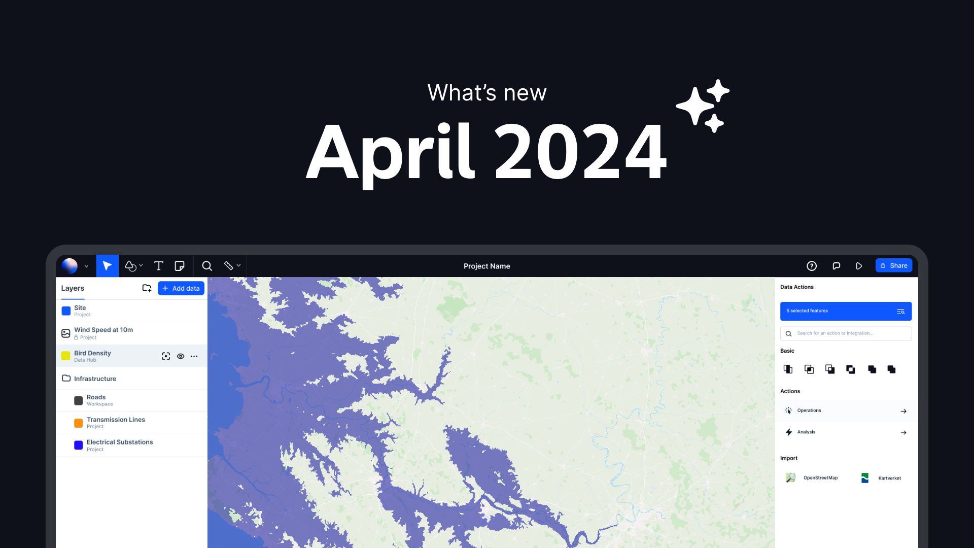
Browser-Based GIS Software
Browser-based GIS software, also known as web-based GIS or online GIS, operates directly in a web browser without the need for installation or complex setup procedures. This type of GIS platform leverages the power of the internet to deliver geospatial capabilities to users in a simple and intuitive manner.

Unlike traditional desktop GIS software that requires substantial processing power and technical expertise, browser-based GIS offers a lightweight and agile solution that is accessible to a broader audience.
Advantages of Browser-Based GIS Software:
- Accessibility: Browser-based GIS can be accessed from any device with an internet connection, allowing users to work seamlessly across different locations.
- Ease of Collaboration: These tools enable real-time collaboration by allowing multiple users to view and edit maps simultaneously, fostering teamwork and enhancing communication.
- Scalability: Browser-based GIS platforms can easily scale up or down based on the user's needs, making them suitable for both small teams and large organizations.
- Cost-Effectiveness: Many browser-based GIS tools offer free or affordable subscription plans, making them a budget-friendly option for users looking to maximize their geospatial capabilities.
Collaborative Mapping
One of the key features that sets browser-based GIS software apart is its emphasis on collaboration. Collaborative mapping tools within these platforms enable users to work together on projects in real-time, sharing insights, making edits, and collectively analyzing geospatial data.

Whether it's a team of researchers studying wildlife habitats, urban planners designing sustainable cities, or emergency responders coordinating disaster relief efforts, browser-based GIS fosters collaboration and empowers users to achieve their goals more efficiently.
Benefits of Collaborative Mapping:
- Real-Time Updates: Changes made to a map are instantly visible to all collaborators, ensuring that everyone is working with the most up-to-date information.
- Enhanced Communication: Collaborative mapping tools facilitate communication among team members, allowing for seamless sharing of ideas and feedback.
- Improved Decision-Making: By working together on a common platform, users can make informed decisions based on collective insights and analysis.
- Version Control: Collaborative mapping features often include version control mechanisms, allowing users to track changes and revert to previous iterations if needed.
Leveraging Free GIS Software
For GIS users looking to harness the power of browser-based GIS in their professional work, there are several free and user-friendly options available in the market. Platforms like Atlas, Felt, and Google Earth offer robust GIS capabilities that can be accessed without a hefty price tag.

Steps to Get Started:
- Choose a Platform: Select a browser-based GIS platform that aligns with your project requirements and familiarity with the interface. You can try Atlas for free or learn more about the features available in Atlas.
- Import Data: Upload your geospatial data, draw it by hand or import it from a hub of datasets.
- Collaborate: Invite team members to collaborate on the map, share insights, and work together towards a common goal.
- Analyze and Visualize: Utilize the analytical tools available within the GIS software to extract valuable insights from your data and create visually appealing maps.
- Share and Publish: Once your map is ready, share it with stakeholders or publish it online to reach a wider audience.
By following these steps and embracing the collaborative features of browser-based GIS software, you can enhance your geospatial capabilities and streamline your workflows with ease.
Remember, collaboration is key in the world of GIS, and browser-based platforms serve as the catalyst for teamwork and innovation. So, why not take the leap and explore the possibilities that browser-based GIS software has to offer?
Let's collaborate, map, and create a geospatially connected world together!