Understanding the difference between vector and raster data is fundamental for GIS. These two types of spatial data are the backbone of GIS analyses and mapping, each with its unique characteristics, advantages, and applications.
This guide aims to demystify vector and raster data, offering insights into their nature, uses, and how to choose between them for your GIS projects.

What is Vector Data?
Vector data represents geographic features as points, lines, and polygons. These geometric shapes are defined by coordinates and are used to represent discrete features on the earth’s surface such as buildings, roads, and boundaries.
- Points are used to represent features too small to be depicted as lines or polygons, like a water well or a location marker.
- Lines (or polylines) depict features with length but no area, such as rivers and roads.
- Polygons represent areas such as lakes, park boundaries, or land use zones.

Advantages of Vector Data
- Precision and Accuracy: Vector data can be very precise, representing boundaries and features with a high degree of accuracy.
- Scalability: Unlike raster data, vector data can be scaled up or down without losing quality.
- Efficient Storage: For many types of geographical data, vector formats require less storage space.
- Flexibility in Analysis: Vector data allows for a wide range of analyses, including network analyses and topological operations.

What is Raster Data?
Raster data, in contrast, represents the world as a grid of cells, or pixels, each with a specific value. Raster is often used for representing continuous features or phenomena, such as temperature distributions, elevations (in digital elevation models), or satellite imagery.

Advantages of Raster Data
- Simplicity: Raster data structures are simple and consistent, making them easy to manipulate and analyze.
- Suitability for Complex Analyses: Raster data is especially useful for analyses that require comprehensive coverage of a study area, like hydrological modeling.
- Rich Visualization: Raster data is inherently visual, making it ideal for representing complex phenomena such as weather patterns or vegetation indexes.

Comparing Vector and Raster Data
The choice between vector and raster data often depends on the nature of your project and the types of analyses you wish to perform. Here are some key considerations:
- Nature of the Data: Use vector data for discrete data (e.g., roads, parcels) and raster data for continuous data (e.g., elevation, temperature).
- Analysis Requirements: Vector data is preferable for topological and network analyses, whereas raster data is better for spatial analyses that cover extensive areas.
- Data Source and Availability: Sometimes, the choice is dictated by the data available to you. Satellite imagery, for example, is inherently raster, while cadastral maps are often vector.
Hybrid Approaches
Modern GIS projects often combine vector and raster data, leveraging the strengths of each. For example, a study on land use change might use satellite imagery (raster) to identify changes over time, then use vector data to analyze the impact on transportation networks.
Real-World Examples
Vector and raster data are ubiquitous in real-world applications, each serving distinct purposes based on their inherent strengths and characteristics.
Understanding these applications highlights the practical value of each data type in addressing complex geographic and environmental challenges.
Vector Data in Urban Planning and Management
One of the most compelling applications of vector data can be seen in urban planning and management.
Cities and municipalities rely on vector data to create detailed maps that represent property boundaries, zoning districts, and infrastructure networks. For instance, in the redevelopment of the downtown area of a bustling city, planners use vector-based GIS to meticulously map out existing buildings (as polygons), road networks (as lines), and public amenities like parks and water fountains (as points).
This precision allows for efficient land use planning, infrastructure development, and resource allocation. By analyzing vector data, city planners can simulate the impact of new constructions on traffic flow, assess the need for public services in burgeoning neighborhoods, and ensure sustainable development practices are followed.
Raster Data in Environmental Monitoring and Management
Raster data shines in environmental monitoring and management, particularly in the analysis of spatially continuous phenomena.
Take, for example, the study of deforestation in tropical rainforests. Scientists use satellite imagery, inherently raster in format, to monitor changes in forest cover over time. Each pixel in the image may represent a 30x30 meter area on the ground, with different color bands indicating vegetation density, land surface temperature, or moisture content.
This raster data enables researchers to quantify deforestation rates, identify critical areas for conservation efforts, and model the potential impact of forest loss on biodiversity and climate.
Similarly, raster-based digital elevation models (DEMs) are pivotal in hydrological modeling, allowing for the prediction of flood zones, the design of effective water management systems, and the assessment of erosion risks in changing landscapes.

Convert Vector to Raster
Converting vector data to raster format is a common GIS task, essential for analyses that require uniform spatial representation, like surface modeling or overlay analyses.
This process transforms discrete vector features such as points, lines, and polygons into a continuous raster grid where each cell contains a value representing the presence, absence, or quantity of the attribute of interest.
For example, in environmental modeling, converting land use data from vector polygons to a raster format allows for easier calculation of runoff coefficients or the assessment of habitat connectivity across a landscape.
Similarly, in urban studies, converting census data mapped as vector polygons to raster format can simplify the process of analyzing population density or assessing service accessibility across different neighborhoods.
The Conversion Process
The process of converting vector data to raster involves several key steps, tailored to preserve the integrity of the original data while adapting it to the raster model:
- Define the raster resolution: The first step is to decide on the spatial resolution of the output raster, which will determine the size of each grid cell. The resolution should be chosen based on the level of detail required in the analysis and the scale of the vector data.
- Specify the attribute for rasterization: Vector data can contain multiple attributes. When converting to raster, you must specify which attribute to use for the raster cell values. This could be a categorical attribute (e.g., land use type) or a numerical attribute (e.g., elevation).
- Choose a rasterization method: The method used to assign values to raster cells based on the vector data varies depending on the nature of the data and the analysis requirements. For polygons, it might involve assigning the value of the polygon covering the center of the cell or using a majority rule. For lines and points, methods include nearest neighbor or interpolation techniques.
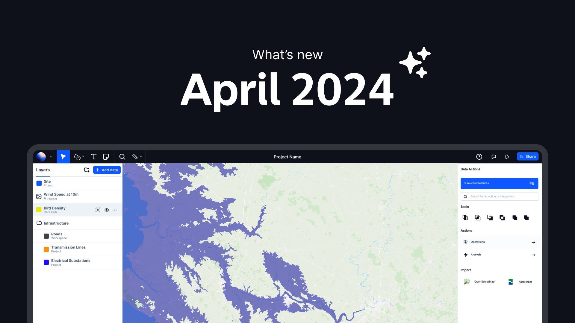
- Perform the conversion using GIS software: Tools such as Atlas, ArcGIS, QGIS, or GDAL offer functionalities to convert vector to raster. The specific tool and parameters will depend on the software and the nature of the data. For instance, in Atlas, the "Vector to Raster" tool can convert vector layers to raster by specifying the output resolution, the attribute field, and the raster size.
Considerations and Best Practices
- Spatial resolution: The choice of resolution is critical, as too coarse a resolution might lead to loss of detail, while too fine a resolution can result in unnecessarily large files without adding meaningful detail.
- Attribute selection: Choose the attribute that best represents the phenomenon of interest for your analysis. For quantitative analyses, ensure the attribute data is numeric.
- Data integrity: Check the resulting raster data for accuracy and completeness. Ensure that the conversion process has not introduced errors or artifacts that could affect your analysis.

Convert Raster to Vector
Converting raster data to vector format is a crucial process in GIS that enables the transition from continuous, pixel-based data to discrete, geometric shapes.
This conversion is often necessary when detailed analysis or precise geographic representation is required, such as in creating accurate boundary maps, conducting spatial analyses that rely on geometric properties, or integrating raster-based information with existing vector datasets.
The conversion process from raster to vector involves identifying and categorizing the pixels of a raster image into vector geometries - points, lines, and polygons. This typically requires an operation known as "vectorization".
During vectorization, contiguous groups of pixels with the same value (or within a specified value range) are identified and converted into a single vector geometry.
For example, in a land cover dataset, areas of contiguous forest pixels can be transformed into polygon features representing the forested regions.
Key Considerations
- Classification Thresholds: Before conversion, it’s essential to define the value thresholds that determine how pixels are classified into different features. This is especially important for complex raster images like satellite data, where variations in pixel values must be accurately represented as distinct vector features.
- Simplification and Generalization: Raster data can contain a high level of detail, leading to overly complex vector shapes after conversion. Simplification techniques may be applied to reduce the complexity of the resulting vector features while preserving their essential shape and geographic integrity.
- Accuracy and Resolution: The resolution of the original raster data directly impacts the accuracy and detail of the converted vector data. High-resolution raster data can result in more detailed and precise vector shapes, but also increases the complexity and size of the vector dataset.
Applications
Raster-to-vector conversion is widely used in various fields:
- Urban Planning: Converting satellite images to vector formats for detailed urban infrastructure mapping.
- Environmental Management: Transforming raster-based land cover maps into vector polygons for environmental monitoring and land use planning.
- Cartography: Creating stylized maps where specific features extracted from raster images are represented as vector layers for enhanced visualization.
Tools and Techniques
Several GIS software offer tools for raster-to-vector conversion, including Atlas. You can find it by searching for “Raster to Vector” under Data Actions.
This allows users to specify parameters such as the value threshold for classification, whether to create multipart or single part features, and options for simplifying the resulting vector geometries.
Conclusion
Understanding the differences between vector and raster data is crucial for anyone working in GIS. By choosing the right type of data for your project, you can optimize your analyses, ensure accuracy, and effectively communicate your findings.
By considering the nature of your geographical features, the specifics of your analysis, and the availability of data, you can make informed decisions about when to use vector data, raster data, or a combination of both. Embrace the strengths of each data type to enhance your GIS projects and unlock new insights into the geographical phenomena you are studying.