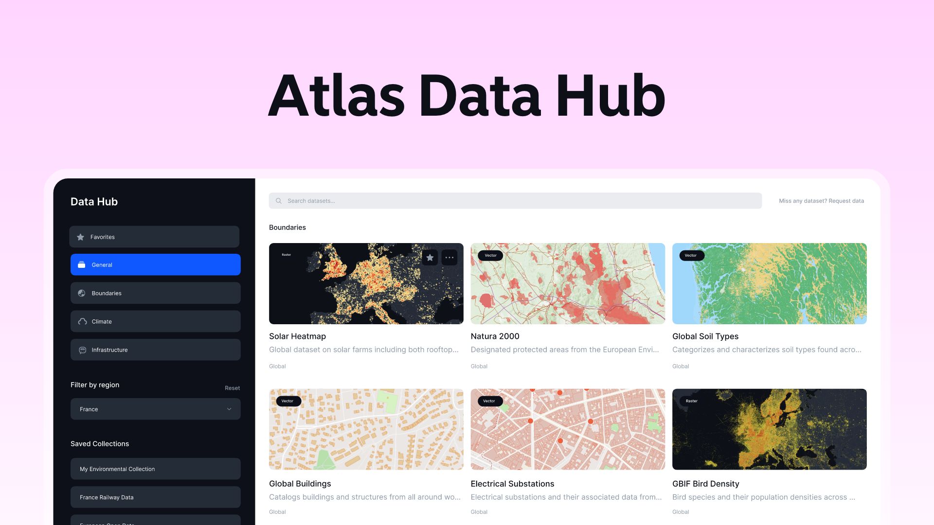
The Atlas Data Hub provides hundreds of ready-to-use datasets from vetted sources. You can search for data based on various criteria, such as country, type of data, and category.
The Atlas Data Hub is connected to external WMS (Web Map Service) and vector tiles servers to allows users to access a wide range of geospatial data from various government agencies.
It serves as a centralized repository of geospatial data, providing users with a single point of access to a wealth of information.
How to import data from Atlas Data Hub
- Navigate to the Atlas Data Hub by clicking on Add Data and then Atlas Data Hub
- Explore hundreds of datasets and find relevant datasets for your needs
- Once you’ve identified datasets of interest, select them from the Data Hub and click Add Data
- It will then be added to your map and be instantly viewable in the map
Notice that data from the Atlas Data Hub is characterized as external data and hence can not be edited nor used directly in analysis. However, Atlas provides tools to create proprietary data from the external data sources.
If the data is of vector type → you can easily click on the features in the map and copy the features to create project data (the opposite of external data)
If the data is of raster type → you can use our raster analysis to fetch data from an external server (WMS) to a raster file, then transform the raster to vector